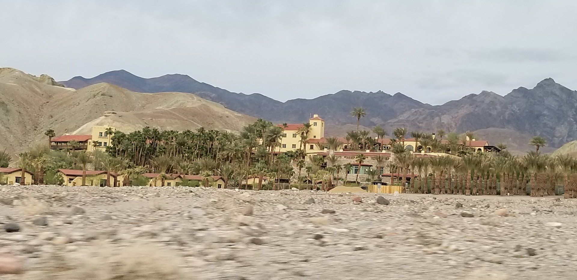
Death Valley has plenty of living things. Campgrounds, resorts, swimming pools, restaurants, and more tourist amenities can make it quite the opposite kind of experience that its name would suggest.
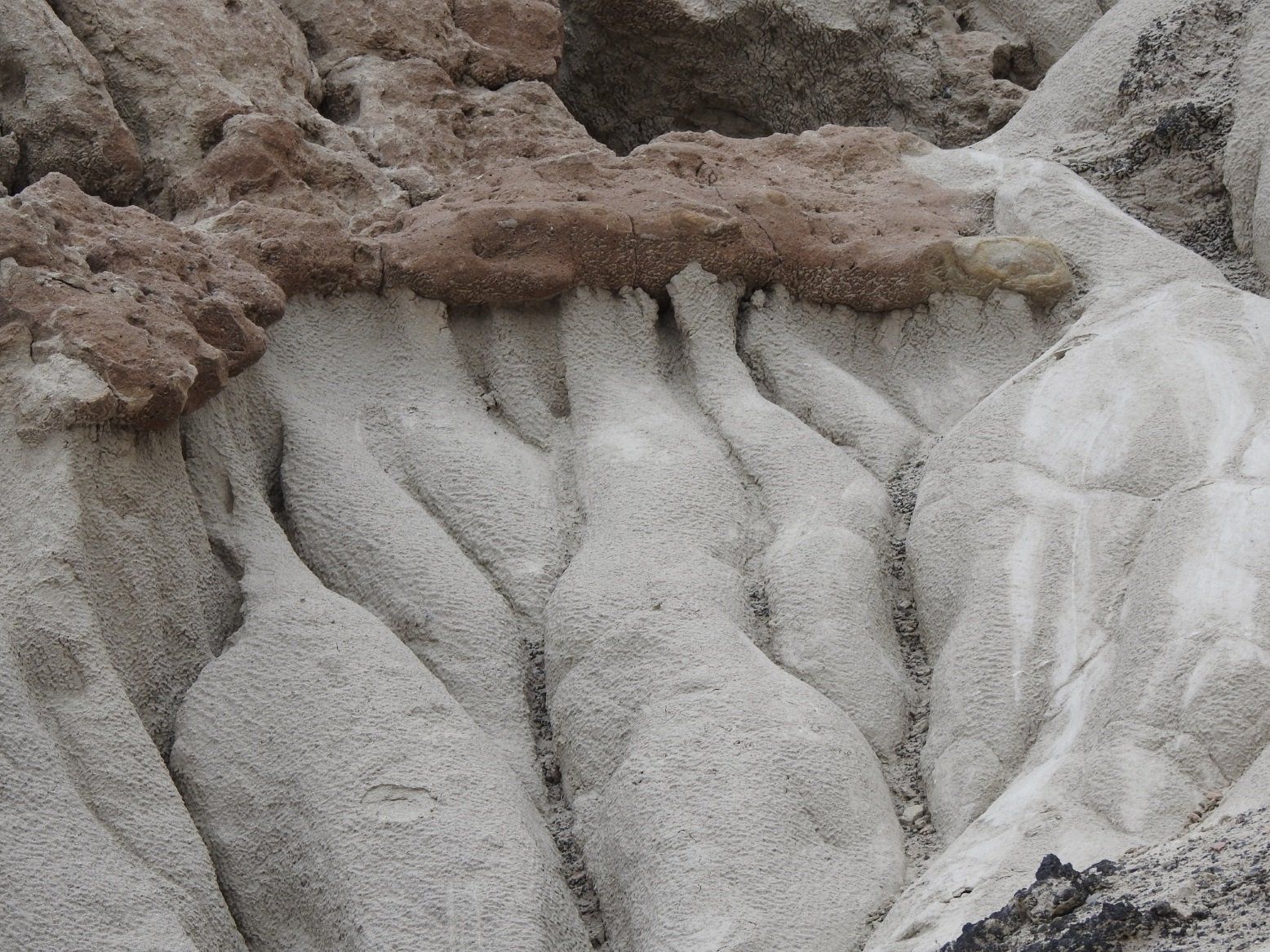
But the landscapes are probably the main attraction in this place. It feels like the closest thing you can get to standing on a desolate Martian landscape. Many of the photos you could take here, resemble those sent back from the Curiosity rover.
Not being huge fans of hot weather, we decided to do the whole trip in one long day. Which probably was a mistake, because there were so many things to see that we hurried from place to place, spending much of the time driving between viewpoints, hiking trails, or other destinations. I could easily spend another couple days seeing things that we passed by, and hiking some of the longer trails. It's a big place. The entire park comprises nearly 3.4 million acres. It's more than 4 hours just to drive from one end to the other, which you'd never actually do. You loop around the park, meandering in and out of different areas.
Here are the highlights:
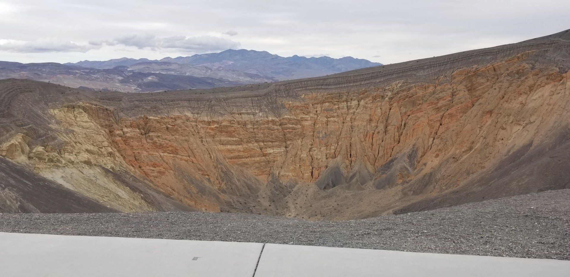
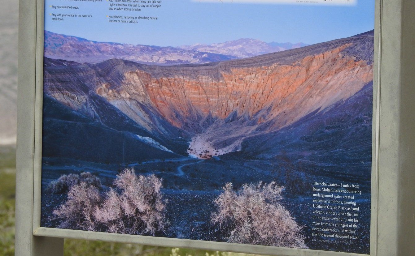
For some, all they see is "a big hole in the ground." But if you slow down and take the time to get just a little bit interested, you can find so many fascinating things here.
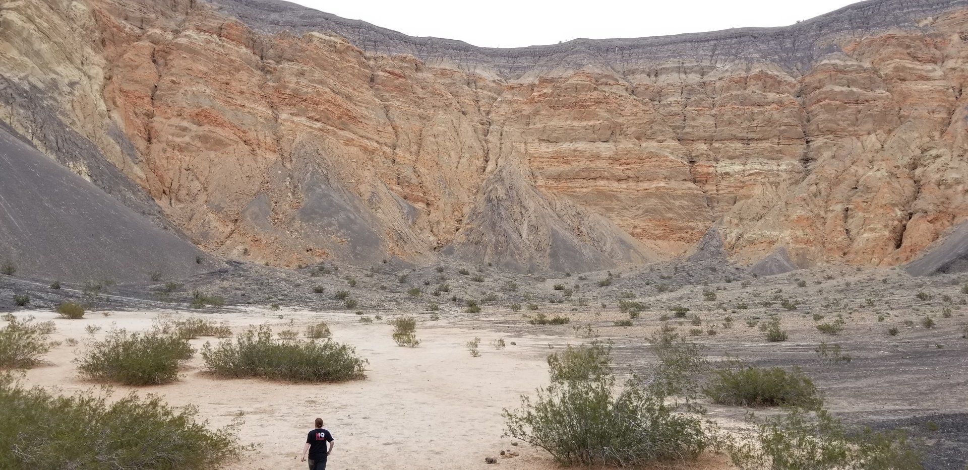
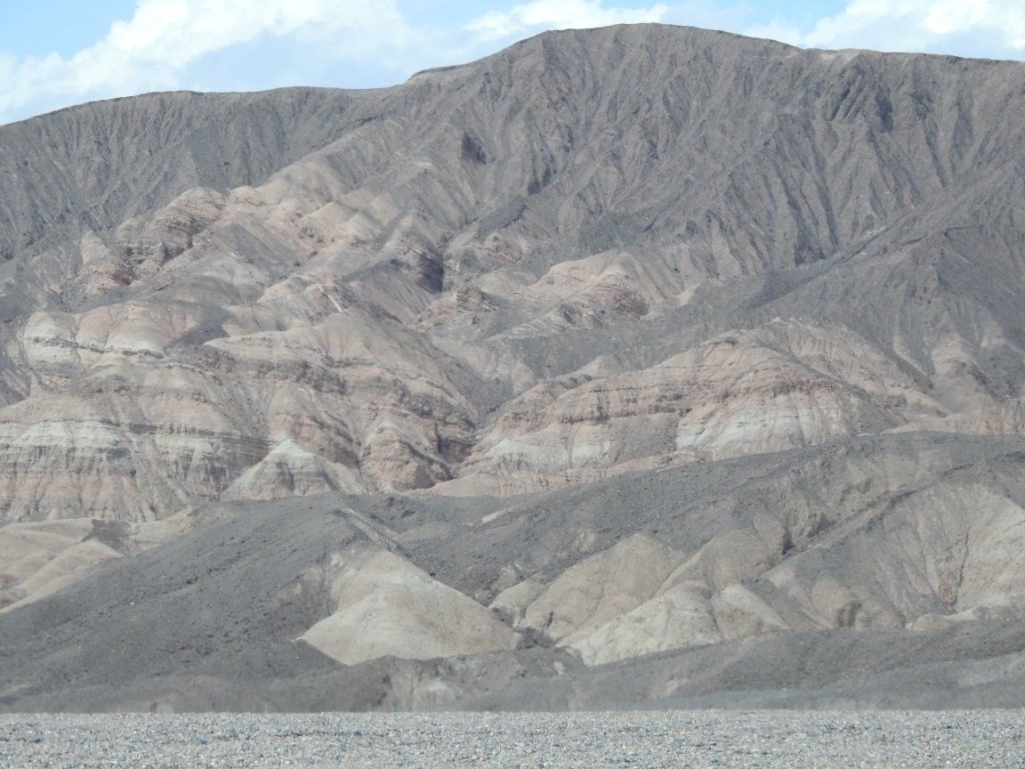
The photo above shows the rim and sides of the crater. The deep grooves and depressions sloping down the sides are caused by the erosive action of rainfall. Without any soil (and trees or other vegetation) to cover the ground and dampen the erosion, you see these great branching tree-like structures of drainage, called "Alluvial Fans". You see them all over death valley, where they are very pronounced compared to landscapes in other biomes.
What's also interesting to note is the color of the sediment deposits has a dramatic separating line between the upper grey area and the orange/yellow area. According to Wikipedia, I think this is due to the faults shifting the bedrock during different geological ages. Really interesting to think about bedrock moving over huge timescales.
The crater itself is quite large, and it took Zach and I about 10 minutes just to get down to the bottom (never
mind the 30 minute hike back up the hill, trying to hike up through
several-feet-deep gravel is somewhere between challenging and
frustratingly inefficient). Sarah volunteered to stay behind with
the dogs. The wind at the top where you parked the car was insanely
strong as well, you really had to push to open your car doors to get
outside. I would guess that the "big hole in the ground" must accelerate
the passing wind speeds as they come up the other side.
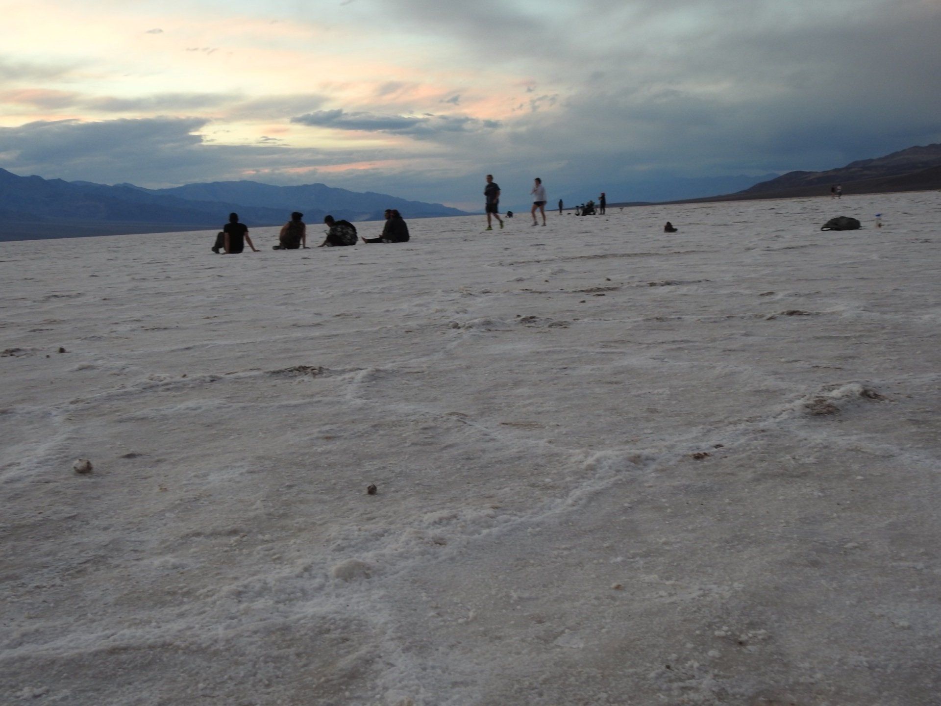
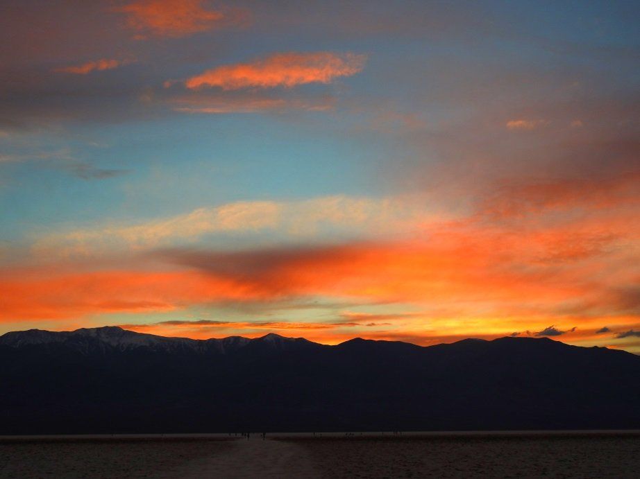
This is the place that most people think of when they think of Death Valley. It's the lowest point in North America, and the hottest temperature on earth was recorded in this area.
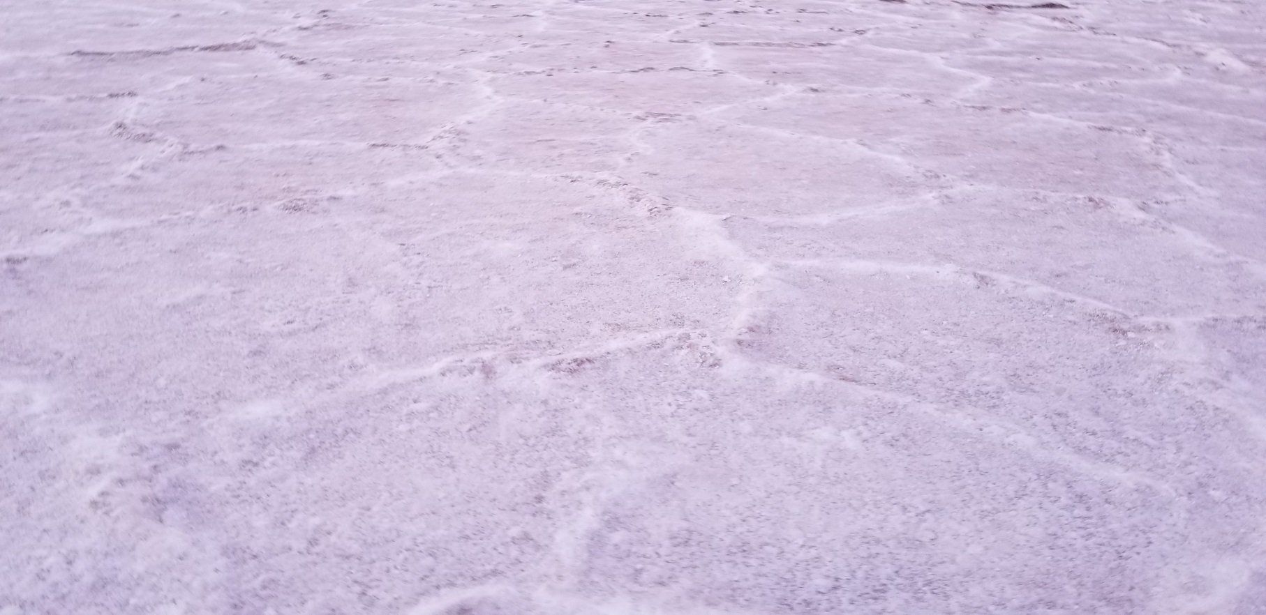
The salt layer is quite thick, varying from a few inches to almost a foot in some places. Deposited in this dry lakebed over a long time period, where rains from the nearby hills would drain down, leaching minerals, and ultimately - that water would collect here. After evaporating, it leaves the mineral deposits behind.
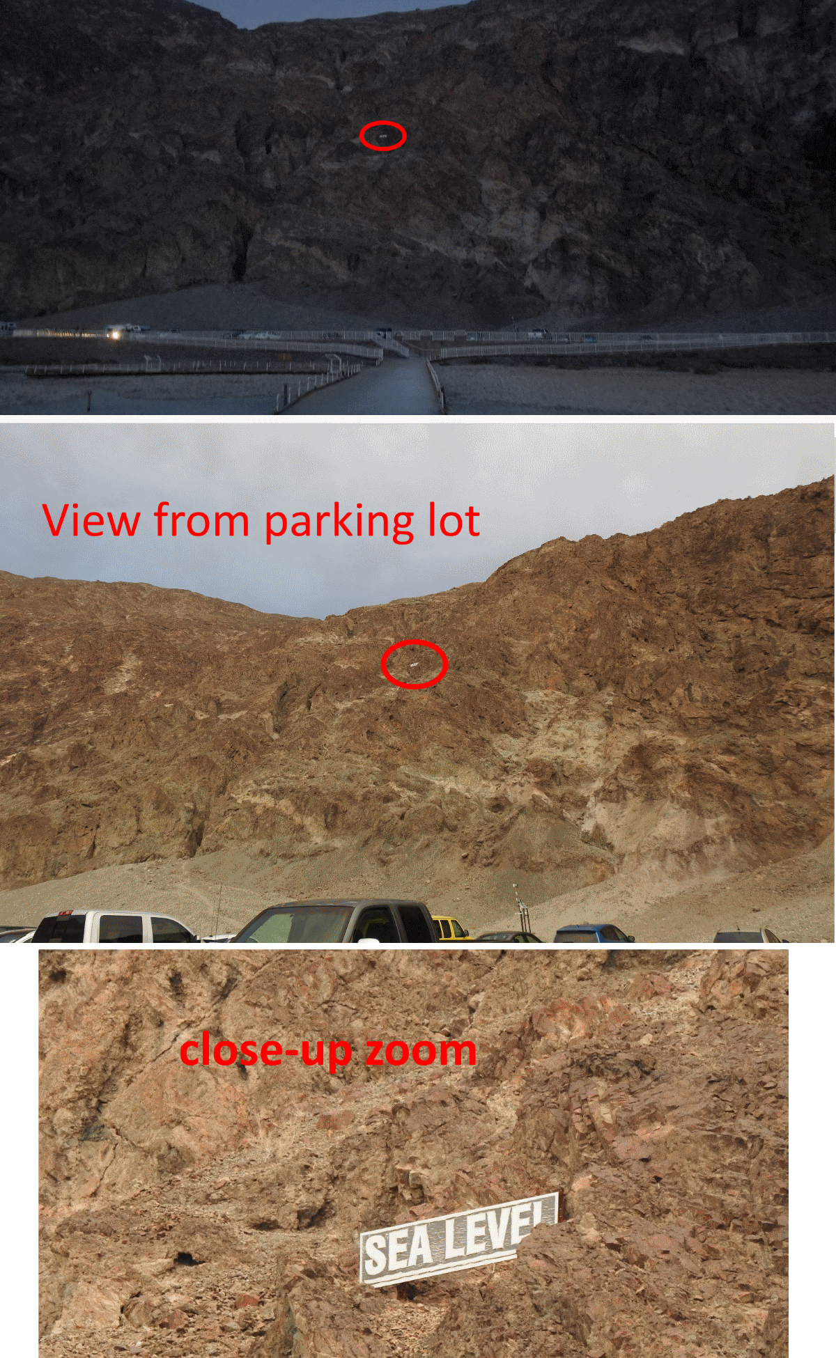
Standing in the basin after a few
minute's walk, and looking back to the cliff walls near the parking lot,
I noticed a sign that gives you a visual indication of how far below
sea level you are standing:
